Geomatics Technology
Geomatics is a science and technology that studies the measurement of objects on the face of the earth that involves the use of computers and communication and information technology in collection (survey), processing and analysis, presentation (depiction), storage, management and distribution of surface space information Earth to support various decision making. The Diploma 3 Study Program of the Batam State Polytechnic Technique was established based on the Decree of the Minister of Research, Technology, and Higher Education of the Republic of Indonesia Number 38 / KPT / I / 2015 concerning Opening of the Diploma Three Geomatics Technology Study Program in Batam State Polytechnic. There are 5 sub-fields held in accordance with SKKNI-Geospatial information, namely: terrestrous, hydrographic surveys, remote sensing, geography information systems, and cartography. Geomatics techniques process geospatial data, namely data on geographical location, dimensions or sizes, and / or characteristics of natural objects and / or man-made under, on, or above the surface of the earth.
-
01 Vision of Geomatics Technology Study Program
Become a vocational study program, superior, adaptive, innovative, and partnered with industry and society in the field of geomatics / geospasial to support Indonesia forward and prosperity 2045.
-
02 Mision of Geomatics Technology Study Program
Active in the process of creation, deployment and implementation of science and technology in the field of geomatics / geospatial through highly high, open, relevant, and collaborative highly collaborative vocational services and industries with the implementation of good institutional governance for more nation lifegood.
-
03 Purpose of Geomatics Technology Study Program
- The realization of services, resources and output of learning and research in quality geomatics / geospasial fields, open, innovative access, relevant to industrial and community needs.
- The realization of a transparent, accountable, productive, and quality study program.
-
04 Target of Geomatics Technology Study Program
- Increased quality, access, relevance of services, resources and output of vocational learning in the field of geomatics / geospatics.
- Increased quality and relevance of research, publication of research results and the ability to apply science and technology and innovation in the field of geomatics / geospatics.
- Increasing transparency, accountability, productivity oriented environmental sustainability and service quality, as well as governance of the study program
-
05 Program Educational Objectives (PEO) Geomathics Technology Study Program
Program Educational Objectives The Geomatics Technology program has three Program Educational Objectives (PEOs):
- Graduates of the Geomatics Technology program will achieve a successful career as professional engineers in surveying, specializing in Geomatics Technology measurement and mapping as well as Earth science, to deal with problems and challenges in their professional career.
- Graduates of the Geomatics Technology program can successfully engage in professional career development activities and maintain competitive edges in their lifelong learning through further education, research, and other professional activities.
- Graduates of the Geomatics Technology program should maintain relevance to their profession and adopt ethical and professional codes.
-
06 Student Outcomes (SO) Geomathics Technology Study Program
- an ability to apply knowledge, techniques, skills and modern tools of mathematics, science, engineering, and technology to solve well-defined engineering problems appropriate to the discipline.
- an ability to design solutions for well-defined technical problems and assist with the engineering design of systems, components, or processes appropriate to the discipline.
- an ability to apply written, oral, and graphical communication in well-defined technical and non-technical environments; and an ability to identify and use appropriate technical literature.
- an ability to conduct standard tests, measurements, and experiments and to analyze and interpret the results;
- an ability to function effectively as a member of a technical team; and
- an understanding of professional and ethical responsibility.

Competence of graduates
Each graduate of the D-III Study Program Geomatika Engineering has competence:
- Determine the global satellite observation position of the Global Navigation Satellite System (GNSS)
- Correction of geometric digital image
- Perform the acquisition of remote sensing and help / supporting data
- Do the process of giving a map coordinate system
- Develop a field survey plan
- Collect secondary data: population, social, and economy Read More..
Learning Achievement
Learning Resistance (CP) The Geomatics Technology Study Program was prepared by guided in: (1) National Standard of Universities (SNPT) contained in Permennekdikti Number 44 of 2015 and Permennekdikti Number 50 of 2018, (2) Levels of Indonesian National Qualification / KKNI (Perpres No.8 of 2014), and (3) Standard of the Indonesian National Work Competency in Geospatial Information (SKKNI-IG) in 2020.
-
Attitude and value
- Be cautious to God Almighty and can show religious attitude;
- Uphold human values in carrying out tasks based on religion, morals, and ethics;
- Contributing to improving the quality of life of society, nation, state, and the progress of civilization based on Pancasila;
- Acting as a proud citizen and love of the country, has nationalism and a sense of responsibility for the country and the nation;
- Appreciate cultural diversity, views, religion and trust, and opinions or original findings of others;
- Work together and have social sensitivity and awareness of society and the environment;
- Obedient law and discipline in community life and state;
- Internalize the value, norm, and academic ethics;
- Demonstrate responsibility for work in his field of expertise independently;
- Internalize the spirit of independence, chosples, and entrepreneurship;
- Adaptive on the development of science and technology, especially in the field of information and communication technology and works in accordance with the standard operational procedure in the work environment and applies the principle of health, safety and work security.
-
Knowledge mastery
- Theoretical science of nature and applied mathematics in certain fields of expertise; >
- The principle of the ecorbiter of the engineering science of certain expertise;
- Principles, methods, and technical techniques of terrestrated surveys, hydrographic, photogrammetry, remote sensing, geographic information systems, and / or cartography in the fields of land, marine, swiping, and / or environment;
- Operational knowledge related to terrestrous, hydrographic, photogrammetry survey technology, remote sensing, geographic information systems, and / or cartography in the fields of land, marine, swiping, and / or environment;
- Factual Knowledge and National and International Technical Reference Application Methods (Code and Standards), as well as applicable regulations in their working areas to carry out the work of terrestrous surveys, hydrographic, photogrammetry, remote sensing, geographic information systems, and / or cartography in the field of land, maritimeSpeeds, and / or the environment;
- Principles of product quality assurance;
- Concepts and principles of environmental preservation;
- Factual knowledge of current issues in economic, social, ecological problems in general terrestrous surveys, hydrographic, photogrammetry, remote sensing, geographic information systems, and / or cartography in the fields of land, marine, swiping, and / or environment;
- Principles and work procedures for workshops, studios, fields, and laboratory activities, as well as the implementation of occupational safety and health, and the environment (K3L);
-
Special Skill
- Able to apply natural science mathematics, and the principle of engineering in technical practice and practice (Technical Practice) to resolve the problem of terrestrical survey technology, hydrographic, photogrammetry, remote sensing, geographic information systems, and / or cartography in the fields of land, marine, skills, and /or environment;
- Able to complete the vast langing work and specific cases in the field of terrestrous, hydrographic, photogrammetry surveys, remote sensing, geographical information systems, and / or cartography for land, marine, skills, and / or environmental cases ranging from data collection, data processing, and presentationData becomes geospatial information;
- Being able to use the latest technology in carrying out the work of terrestrous surveys, hydrographic, photogrammetry, remote sensing, geographical information systems, and / or cartography in the fields of land, marine, skills, and / or the environment;
-
General skills
- Able to show quality and measurable performance of the work which is entirely the result of its own work, unattended;
- Able to break the problem of employment with common nature and context, as well as implemented and independently responsible for the results;
- Able to solve work problems with the properties and contexts that are in accordance with the area of applied expertise, based on logical, innovative thinking, and responsible for the results independently;
- Able to compile a written report in a limited scope;
- Able to cooperate, communicate, take the necessary initiatives in the context of implementing work
- Able to be responsible for their own work and can be responsible for the quality and quantity of the work of others;
- Able to document, save, secure, and rediscover the data for guaranteeing knowledge.
CURRICULUM
The curriculum is a course and educational program provided by an educational organizing agency that contains the design of the lesson that will be given to the study participants in one period of education
-
SEMESTER 1
No
Code
Name
Course
Semester credit unitSemester Credit Unit Weight
SyllabusTheory Seminar Practice 1 GM101 Pengantar Geodesi dan Geomatika Introduction to Geodesy and Geomatics 4 2 0 0 2 GM102 Matematika Geodes Mathematical Geodesy 3 2 0 1 3 GM103 Dasar Pemrograman dan Teknologi Informasi Basic Programming and Information Technology 4 2 0 2 4 GM104 Proyeksi Peta Map Projection 3 2 0 1 5 GM105 Survei Terestris Dasar Basic Land Surveying 2 2 0 0 6 GM106 Keselamatan, Kesehatan, dan Komunikasi Kerja Occupational Communication, Health, and Safety 1 0 0 1 7 MPK001GM PENDIDIKAN AGAMA RELIGION 2 2 0 0 TOTAL 20 14 0 6 - SEMESTER 2
No
Code
Name
Course
Semester credit unitSemester Credit Unit Weight
SyllabusTheory Seminar Practice 1 GM207 Fisika Dasar Basic Physics 3 3 0 0 2 GM208 Aplikasi CAD CAD Application 2 0 0 2 3 GM209 Statistika dan Hitung Perataan Statistics and Adjusment Computation 4 3 0 2 4 GM210 Survei Terestris Lanjut Advanced Land Surveying 4 2 0 2 5 GM211 Kartografi Cartography 3 2 0 1 6 GM212 Basisdata Spasial Spatial Database 3 2 0 1 7 MKU001GM Pendidikan Olahraga Sports Education 1 0 0 1 TOTAL 20 12 0 8 - SEMESTER 3
No
Code
Name
Course
Semester credit unitSemester Credit Unit Weight
SyllabusTheory Seminar Practice 1 GM313 Survei Hidrografi Dasar Basic Hydrographyc Survey 3 2 0 1 2 GM314 Fotogrametri Photogrammetry 3 2 0 1 3 GM315 Sistem Informasi Geografis Geographic Information SystemsG 3 2 0 1 4 GM316 Penginderaan Jauh Remote Sensing 3 2 0 1 5 GM317 Survei GNSS GNSS Survey 4 3 0 1 6 GM318 PEMROGRAMAN WEB WEB PROGRAMMING 3 2 0 1 7 MKU002GM Bahasa Inggris Umum English General 3 2 0 1 TOTAL 23 14 0 9 - SEMESTER 4
No
Code
Name
Course
Semester credit unitSemester Credit Unit Weight
SyllabusTheory Seminar Practice 1 GM419 Oseanograf Oceanography 4 3 0 1 2 GM420 Survei Hidrografi Lanjut Advanced Hydrographic Survey 4 2 0 2 3 GM421 Survei Rekayasa Engineering Survey 4 2 0 2 4 GM422 Geomatika Lingkungan Environment Geomatics 3 2 0 1 5 GM423 Pengelolaan Wilayah Pesisir Coastal Zone Management 3 3 0 0 6 GM424 Kemah Kerja Field Camp 2 0 0 2 7 MKU003GM Bahasa Inggris Dunia Kerja English Wor 3 2 0 1 TOTAL 23 14 0 9 - SEMESTER 5
No
Code
Name
Course
Semester credit unitSemester Credit Unit Weight
SyllabusTheory Seminar Practice 1 GM525 Kewirausahaan Entrepreneurship 4 2 0 2 2 MPK002GM Pendidikan Pancasila Pancasila Education 4 2 0 2 3 MPK003GM Pendidikan Kewarganegaraan Civic Education 4 2 0 2 4 GM526 Proyek Industr Industrial Project 6 0 2 4 TOTAL 14 8 2 4 - SEMESETER 6
No
Code
Name
Course
Semester credit unitSemester Credit Unit Weight
SyllabusTheory Seminar Practice 1 GM627 Magang Internship 10 0 0 10 2 GM628 ETIKA PROFESI DUNIA KERJA PROFESIONAL ETHICS 2 2 0 0 3 IF636 PELAPORAN KERJA WORK REPORTING 0 2 0 0 TOTAL 14 4 0 10 GRADUATE
The following is a table of graduates of the Geomatics Technology Study Program
-
Graduate Table
No
Year
Number of Students
Number of Students Graduated1 2016 59 0 2 2017 134 0 3 2018 206 0 4 2019 258 39 5 2020 289 15 6 2021 306 38
Graduate job opportunities
Graduates of the Geomatics Technology Study Program, have been successfully absorbed in the business world and industry, including BUMN companies, mining companies, manufacturing companies, civil servants, and cosmetics.After attending the lecture for 6 semesters, it is expected that graduates will be able to keep the work position as follows:
Surveyor hydrographic
Someone who has practical knowledge and abilities in determining the position and survey of sea and coastal mapping
Read More..Surveyor Engineering
Someone who has the ability to be practical in determining positions and mapping surveys in the field of design and construction
Read More..GIS Technicians / Specialists
Someone who is able to convert geospatial data, geospatial data editing, and testing of geospatial data quality.Able to do radiometric initial pre-processing, digital image processing, compiling Mosaic digital imagery, and field spectrometry measurements to arrange a spectral library.
Read More..Geospatial application developer
Someone who is able to complete a case / problem into an algorithm, Flowchart then implements into a computer program
Read More..New student registration
For siblings who want to join the D3 Study Program Geomatika Engineering can visit the registration website at registrasi.polibatam.ac.id.
Facility
Batam State Polytechnic Geomatics Technology has survey facilities or lab surveys in for example
- All
- Survey tools
- Classroom
- Lab
HOME BASE STUDY LECTURER
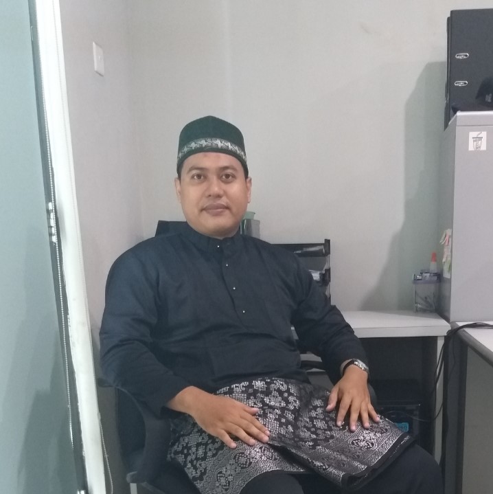
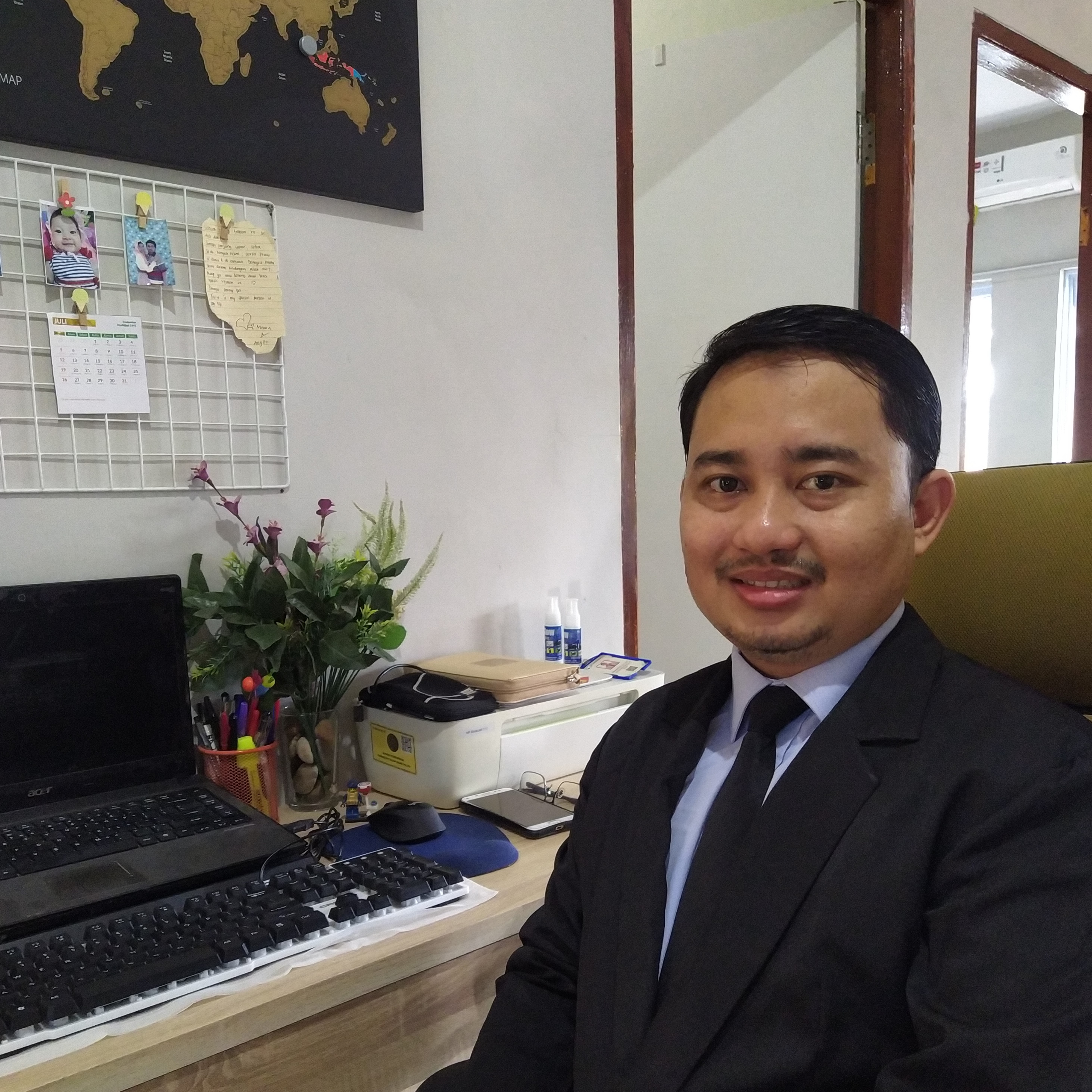
Sudra Irawan, S.Pd.Si., M.Sc
Head of InformaticsNIDN/NIK : 113110
Study program : Geomatics Technology
Last education : Magister Strata 2 (S2)
Email : [email protected]
Education History
Sarjana (S1) Universitas Negeri Yogyakarta : Physical education
Magister (S2) Universitas Gadjah Mada : PhysicsSpecialist field : Geoscience, Geophysics, Hydro-oceanography, Geology, GIS
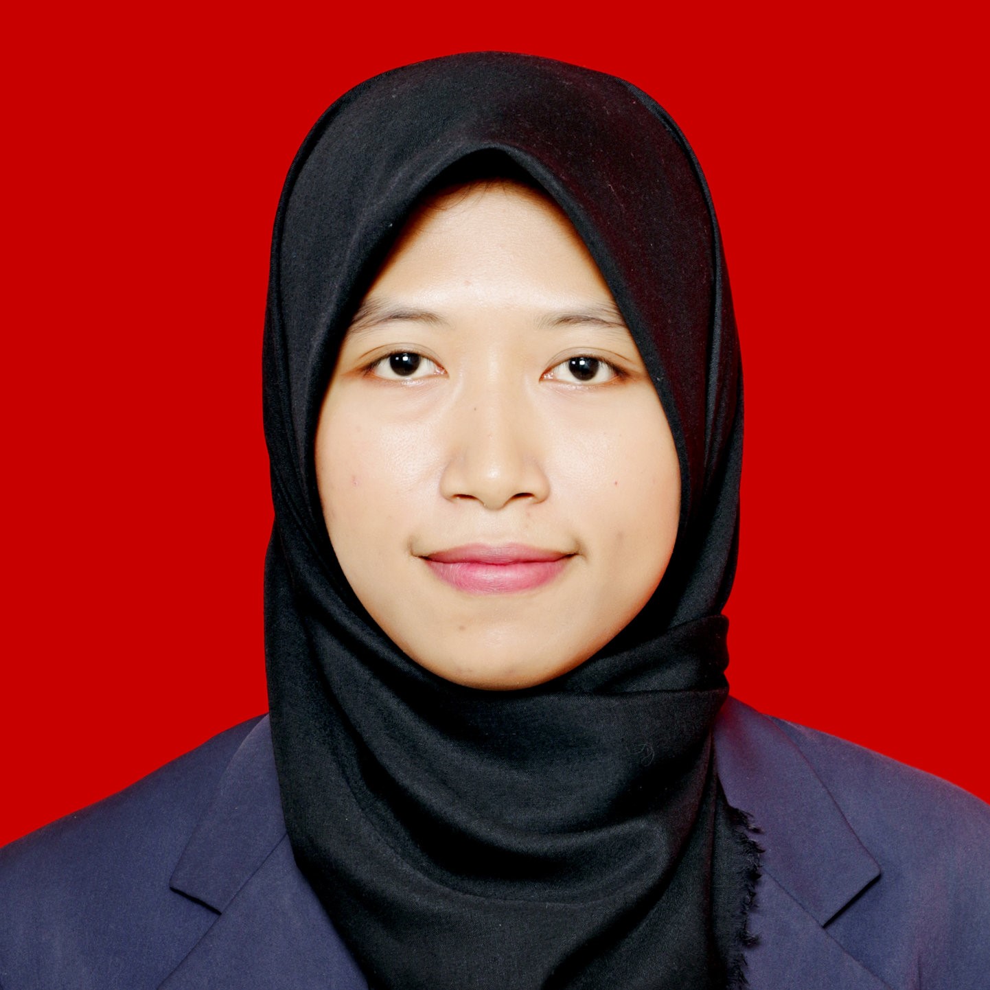
Siti Noor Chayati, S.T., M.Sc
Secretary of the Informatics DepartmentNIDN/NIK : 118207
Study program : Geomatics Technology
Last education : Magister Strata 2 (S2)
Email : [email protected]
Education History
Sarjana (S1) Universitas Gadjah Mada : Teknik Geodesi
Magister (S2) University College London : Hydrographic SurveyingSpecialist field : Hydrographic Surveying.
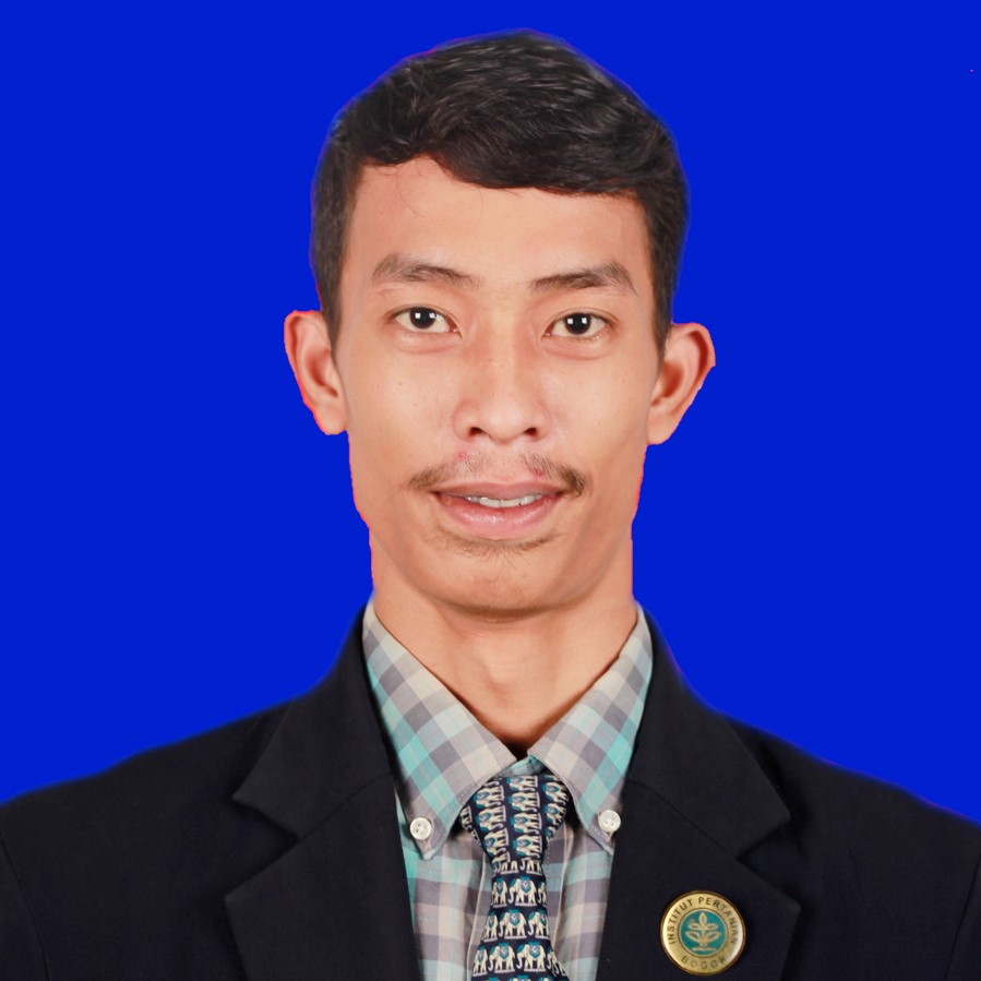
Ir. Farouki Dinda Rassarandi, S.T., M.Eng.
Head of Geomatika Technique Study ProgramNIDN/NIK : 118208
Study program :Geomatics Technology
Last education : Magister Strata 2 (S2)
email : [email protected]
Education History
Sarjana (S1) Institut Teknologi Nasional (ITN) Malang : Geodesi technique
Magister (S2) Universitas Gadjah Mada (UGM) : Geomatics TechnologySpecialist field : Survei Terestris & Geoinformatics
Wenang Anurogo, S.Si., M.Sc.
LecturerNIDN/NIK : 116163
Study program:Geomatics Technology
Last education : Magister Strata 2 (S2)
Email : [email protected]
Education History
Sarjana (S1) Universitas Gadjah Mada : Geography / cartography and remote sensing
mAgister (S2) Gadjah Mada : Geography / Masters in Coastal Management and River Flow (MPPDAS)Specialist field : Geoinformatics, Geoscience
Arif Roziqin, S.Pd, M.Sc
LecturerNIDN/NIK : 115145
Study program :Geomatics Technology
Last education : Magister Strata 2 (S2)
Email : [email protected]
Education History
Sarjana (S1) Universitas Negeri Yogyakarta : Geographical Education
Magister (S2) Universitas Gadjah Mada : GeographyBidang Spesialis : GIS, Tata Ruang, Geomorfologi
Ir. Oktavianto Gustin, S.T., M.T
LecturerNIDN/NIK : 115138
Study program :Geomatics Technology
Last education : Magister Strata 2 (S2)
Email : [email protected]
Education History
Sarjana (S1) Institut Teknologi Sepuluh Nopember Surabaya : Teknologi Geomatika
Magister (S2) Institut Teknologi Sepuluh Nopember Surabaya: Teknologi GeomatikaSpecialist field : Teknologi Geomatika
Luthfiya Ratna Sari, S.Si., M.T.
LecturerNIDN/NIK : 117196
Study program :Geomatics Technology
Last education : Magister Strata 2 (S2)
Email : [email protected]
Education History
Sarjana (S1) Universitas Gadjah Mada : Kartografi dan Penginderaan Jauh
Magister (S2) Institut Teknologi Bandung : Teknik Geodesi dan GeomatikaSpecialist field : Geographic information system application, remote sensing, cartography
Satriya Bayu Aji, S.S., M.Hum.
LecturerNIDN/NIK : 118201
Study program :Geomatics Technology
Last education : Magister Strata 2 (S2)
Email : [email protected]
Education History
Sarjana (S1) Universitas Terbuka : English literature field of interest in translation
Magister (S2) Universitas Sebelas Maret : LinguisticsSpecialist field : English
Muhammad Zainuddin Lubis, S.I.k, M.Si
Lecturer (continue studies)NIDN/NIK : 116162
Study program : Geomatics Technology
Last education : Magister Strata 2 (S2)
Email : [email protected]
Education History
Sarjana (S1) IPB University : Marine science and technology
Magister (S2) IPB University : Marine TechnologySpecialist field : Hydrography Survey, Oceanography, Underwater Acoustic
EDUCATORS OF THE GEOMATIC TECHNOLOGY PRODUCT
Muhammad Ghazali, A.Md.T
LaborNIDN/NIK : 219311
Study program :Geomatics Technology
Last education : Diploma 3 (D3)
Email : [email protected]
Education History
Diploma (D3) Politeknik Negeri Batam : Geomatics Technology
Specialist field : Hydrographic survey
Rizki Widi Pratama A.Md.Kom
LaborNIDN/NIK : 216252
Study program :Geomatics Technology
Last education : Diploma 3 (D3)
Email : [email protected]
Education History
Diploma (D3) Politeknik Negeri Batam : Geomatics Technology
Specialist field : Survey Terestris, Survey GNSS, Geographic information system
- SEMESTER 2


